Reservoirs & tanks
Roof condition, coating breakdown, hatch and vent security, platform state, documented without a single boot on the roof.
Aerial drone inspection of reservoirs, tanks, dams, dam walls, river systems and associated infrastructure, helping water authorities manage assets with less risk and better evidence.
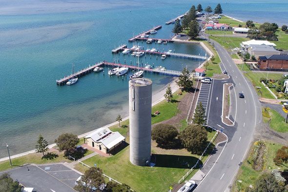
A drone reaches roof areas, dam faces and remote corridors without scaffolds, boats or working-at-heights exposure. Combined with our diving and ROV work, it completes the picture of the asset, outside and above, as well as inside and below.
Roof condition, coating breakdown, hatch and vent security, platform state, documented without a single boot on the roof.
Face condition, spillway state, vegetation intrusion and erosion patterns across structures too large to walk efficiently.
Intakes, banks, crossings and infrastructure corridors surveyed quickly and repeatably for comparison over time.
Drone inspection pairs well with internal diving and ROV work. One visit covers every angle.